Coltiva e custodisci
Il tuo andare e il tuo stare,
La casa e il cammino
La tenacia e la luce dentro ogni passo.
- Written in the church of San Giorgio in Moneglia
Before setting out from Deiva Marina I dropped by the tourism office to ask for a stamp on my credential, as stamps are hard to come by now that I am no longer on the Via Francigena ! The route I am following is the Via della Costa, or the Sentiero Liguria, or a combination of the two - they sometimes coincide. For a brief explanation of the differences, see
this page on this blog!
I left Deiva behind and climbed steeply up a road which, after the last house, turned into a rocky path through a wood of ilex, or holm oak, lecci in Italian: the original native species of the south-facing slopes of the mountains of Liguria, facing the sun and the sea. They gave way to dwarf trees, struggling to grow out of the bare rock of the promontory.
As I climbed higher these straggly trees gave way to Mediterranean scrub. The trail was solid rock, crumbling and flaking in places - better to be going up rather than down, with such footing!
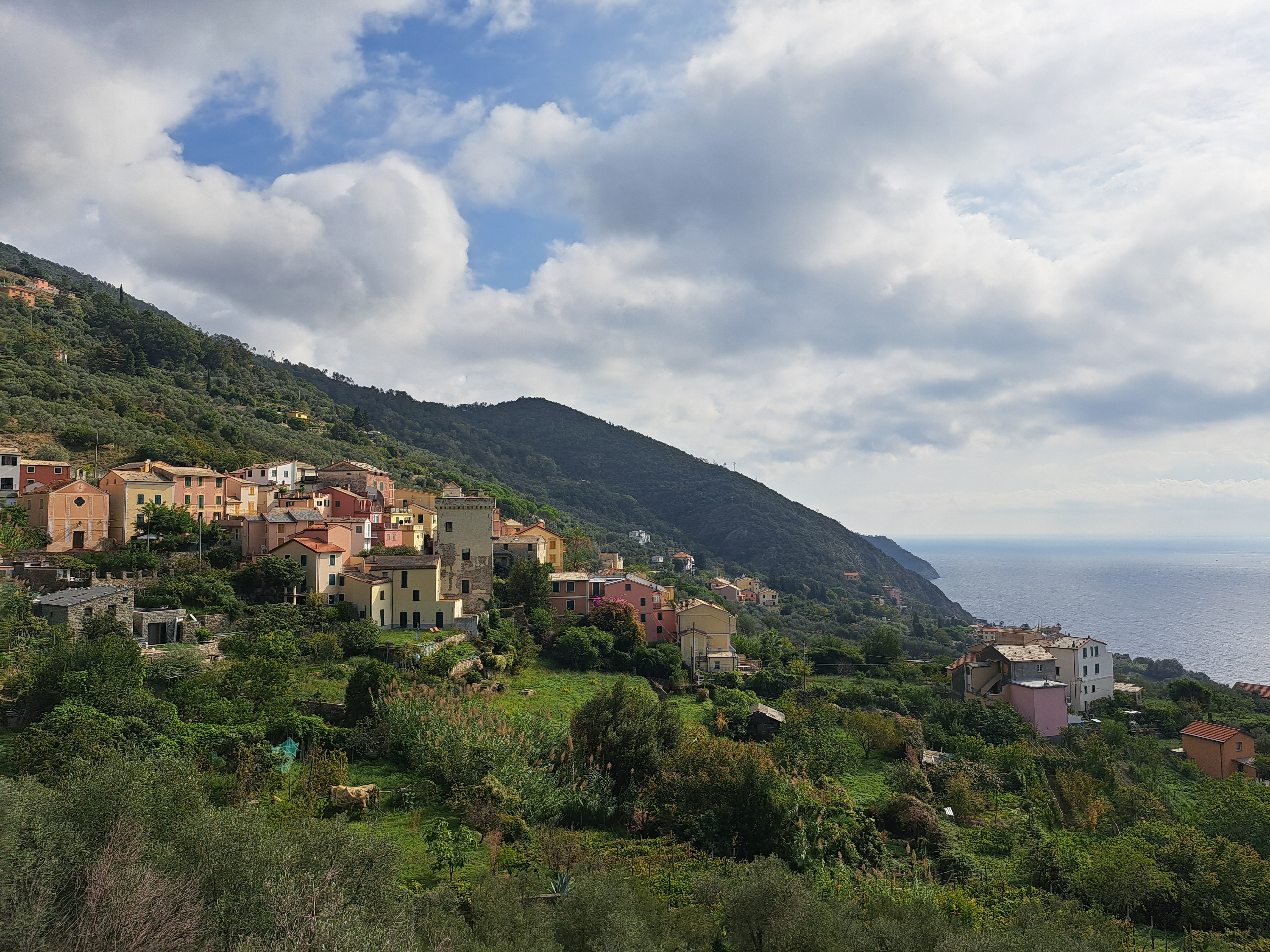
I crested the hill at around 350 metres and the town of Moneglia came into view. The path took me there via Lameglio, a village I had hiked through before with my
English-speaking hiking group; on those occasions the church steps in Lameglio provided a classic location for a group picture!
I descended the rest of the way into Moneglia, where I stopped for a morning ice cream - coffee and chocolate, flavours I can't have in the afternoon!
I stopped outside the Baroque church of Santa Croce to take a break and admire the risseu, the mosaic of black, white and red pebbles traditionally laid in front of church façades in Liguria.
In the church of San Giorgio I encountered a colourful 18th-century statue of the saint in the act of killing the dragon.
I then began the long climb over Punta Moneglia to Riva Trigoso. This is pretty wild territory: once you leave behind the last houses of Moneglia, you're in the woods. Scrubby woods, of the kind that grow perched on the rock, facing the sun: skinny little pine trees, heather, broom, juniper, and arbutus, also known as strawberry tree because of its bright red fruit.
At this time of year the fruit is just beginning to mature. Some trees had plenty of bright red, soft fruit, while the fruit on others in shadier spots was still hard and yellow. The arbutus tree is unusual in that it produces both flowers and fruit at the same time; this year's flowers become next year's fruit.
Sarsaparille vines decorated occasional trees with their own red fruit, pretty to look at but not edible - unless you're a Smurf!
The easiest of the trails between Moneglia and Riva climbs to an elevation of about 350 metres and takes approximately three hours to hike. There are longer and more difficult routes, some of which I have walked in the past, either intentionally or by accident 😄. The promontory has a network of trails and you have to be careful you follow the right one for where you want to go... as well as watching your step on narrow trails of crumbly rock and loose dirt. A route that demands concentration!
 |
| The trail network of Punta Moneglia |
 |
| A typical stretch of trail |
Riva Trigoso finally came into view when I rounded the last bend on the side of the promontory. Riva, originally a fishing village, is a beach resort town which also has a very large and well-known shipyard; Trigoso is a village a little way up the hillside. The two are separated by railway tracks and a steel plant.
After a break for lunch at a picnic table at the crossroads of trails to Riva Trigoso, Punta Baffe and Monte Moneglia, I took the most direct route to Riva, stopping along the way to pick the fruit of the arbutus or strawberry trees. I filled a plastic bag with fruit, which weighted down my backpack... I could afford to do so as my pack was lighter than usual. As you may have guessed I am "commuting" to the trail for these last couple of stages, rather than seeking and paying for accommodation so close to home! So today I walked down to Riva Trigoso train station, took a twenty-minute train ride home, and then made six jars of jam with the fruit I had carried down in my backpack.
Yummm!!!
 |
| Puréed arbutus fruit |
 |
| Jam on the boil |
Deiva Marina - Riva Trigoso 14.5 km