Automatic Translation

Friday, November 11, 2016

Walking across Liguria: Via della Costa / Sentiero Liguria / Alta Via dei Monti Liguri

So I can now claim to have walked all the way across Liguria!

From Chiavari southeast to Luni, in one week, in September 2015, proceeding from there along the Via Francigena to Rome. 

And from Chiavari northwest to Ventimiglia, in just over two weeks, in October 2016, ideally as the beginning of a Long Walk to Santiago de Compostela. 

When I told people I was planning on walking across Liguria, most of them said, "Ah, the Alta Via?" The Alta Via dei Monti Liguri totals 440 km and crosses the region high up along the crests of the mountains, which means you don't pass through many towns. And so if you don't want to have to walk down the side of a mountain every night to find food and accommodations, and back up in the morning to resume your walk, you have to carry a tent, a cookstove, pots and dishes and plenty of food and water. I'd like to do it some day, but it's a different sort of trip. One to be done in the summer, and preferably not alone! Nonetheless, the Alta Via dei Monti Liguri or AVML is the best-known route among the general public. 
There are however two other routes to follow when walking across the region. 
The lowest, and shortest, is a 348 km route running along the coast, aptly named the Via della Costa, conceived as a link between, or to, the pilgrimage routes heading south to Rome and west to Santiago. That's why the route marker is a double-headed arrow. 

The double-headed yellow arrow of the Via della Costa.
Here it corresponds to the Sentiero Liguria
The double-headed arrow is a constant friend; unlike the Sentiero Liguria trail marker, its reassuring presence stays with you even in the middle of the cities you walk through. 

The Via della Costa is described in Monica d'Atti and Franco Cinti's guidebook published by Terre di Mezzo, and by Anna Rocchi and Silvio Calcagno on this website, available in English, French, Spanish and, of course, Italian! The two do not always correspond, and there are alternate routes in some sections, so that in some places you will run across double-headed yellow arrow markers in places where you don't expect to see them... but in any case you can be confident that if you follow them you will be going in the right direction! 


On the western side of Genoa you will sometimes find the yellow shell symbol of the Camino de Santiago appearing in association with the double yellow arrow of the Via della Costa. The first time I came across this symbol I found it very exciting - confirming that I really am on the road to Santiago!

Theoretically there are churches and convents that provide accommodations for pilgrims on the Via della Costa, but they are not as well-organised as on the Via Francigena, or as commonly frequented. I myself did not rely on them, but stayed with friends in places where I knew someone and in inexpensive hotels and bed and breakfast establishments elsewhere.

The third way to cross Liguria is along the Sentiero Liguria: a 600 km network of trails that presents the region of Liguria in all its variety, wandering up into the mountains and down to the sea, passing through beautiful villages and tiny hamlets, with variants for avoiding big cities and busy roads. In fact, following the Sentiero Liguria you can be sure you will never have to walk along the side of a busy highway, even if this means walking further and longer. In some spots (such as the industrial parts of Genoa and Savona) the directions suggest taking public transport and skipping the ugliest bits - this is fine for hikers, but since I am approaching the walk as a pilgrim, I walked every bit of the way! 

My approach was to combine the Sentiero Liguria and the Via della Costa, not travelling a fixed itinerary determined in advance but making decisions daily on the basis of the weather, the availability of places to stay, my fatigue and state of mind, etc. 

There are two kinds of Sentiero Liguria trail marker:
this painted red and white symbol, and the green and blue plaque shown above

Red: Sentiero Liguria
Yellow: My track
The Sentiero Liguria website, though available only in Italian at the moment, is very well-done, providing downloadable instructions for walking the trail in both directions and GPS tracks which you can download to a mobile phone, so as to be able to check whether or not you are on the route at any time along your way. Above Camogli, for example, as shown in the GPS track screenshot here, I walked higher up into the hills than I needed to, and ended up walking a different way - which was fine, but in some circumstances might not have been (late in the day, in bad weather, when particularly tired...)

Having the GPS tracks on my phone turned out to be very handy several times when I realised I hadn't seen any trail markers for a while and wasn't sure whether I had taken a wrong turn or just not noticed them. 

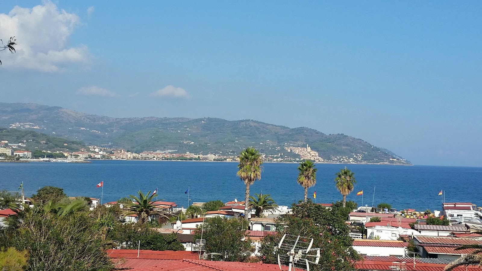
Another practical note: September/October is really the best time of year. In summer, it is too hot and there is little shade on some stretches of the trail, and also it is difficult to find accommodations due to the crowds of people at the beaches. In winter the days are short and many hotels in seaside towns close. But in September/October most are still open and have plenty of vacancies! And the sea is still warm enough to take a refreshing dip at the end of a long day hiking. An added bonus in September is free fruit along the way - there are plenty of blackberries and figs to pick as you go! Spring might be all right too, but - no free fruit, and the sea is still cold!

Just what you want to see after a long day hiking in the hills!
A final note: Whatever way you choose to do it, walking across Liguria is likely to be a solitary experience. I walked alone for 12 days without ever meeting another pilgrim, only day trippers, cyclists and hunters on Sundays. On the 12th day I met Aldo, and we recognised each other as pilgrims by the laundry hanging to dry on the back of our packs! We walked together for three days; on the last day we crossed paths with three pilgrims heading in the opposite direction, but after I left and Aldo continued on his way into France, he met no further pilgrims along the way, at least not for several days (I haven't heard from him since).

Particularly on the eastern side of Genoa, you may often come across blue arrows spray-painted on the pavement;
unofficial trail markers showing the way to Rome!
As the Via della Costa is not a well-known pilgrimage route, you will often find yourself explaining what you are doing to the people you come into contact with along the way. And if you want stamps for your Pilgrim's Passport, or Credential, you may have to take whatever you can get: in a few places I managed to get to a church during the parish priest's office hours and obtain a proper church stamp, but in other places I asked for stamps at the town hall, the library, a museum, my hotel, a café where I had breakfast...

I hope the authorities will accept them as evidence of my route when I do get to Santiago... whenever that may be! 

Thursday, October 20, 2016

Sentiero Liguria 15: Sanremo - Ventimiglia

Sanremo - Ventimiglia (18 km)

along the waterfront, via Bordighera

The last leg in this Long Walk!
Left my splendid chambers in Gioberti House early in the morning to meet Aldo in front of the cathedral, where we had heard a lovely concert last night put on by singers and musicians from an English girls' school, currently touring Liguria. We were hoping to run into someone ecclesiastical who could put a stamp on our pilgrims' passports, but no-one was about at that hour, so we decided to settle for the hotel stamps we had got the night before and start walking. Our route once more followed the waterfront, primarily on cycling and pedestrian paths along the former railway bed, including another long tunnel - though luckily this one was well lit, and made up for the lack of a view with overhead panels providing educational and entertaining snippets of information about the history of the Milano-Sanremo cycling race. 
Coming into Bordighera we had to walk for a while on the sidewalk of the Via Aurelia, a particularly busy road at this point near the border. At the end of this stretch we stopped to recover in a beautiful café on the rocks above the sea before proceeding through the town of Bordighera, where it was market day, and the crowded market stalls on the waterfront slowed our progress somewhat! Once past the throngs of shoppers, both Italian and French, we carried on along the waterfront and, at one point, on the beach, past Vallecrosia and Camporosso, with a view extending to Montecarlo in the distance. Finally we reached Ventimiglia and headed for the centre of town, where I had Aldo take a photo to mark the momentous occasion of my arrival in Ventimiglia before saying goodbye and wishing him well on his way walking across France to the Spanish border - his destination by the middle of next month. Then I managed to obtain a stamp from Ventimiglia town hall for my pilgrim's passport before taking the train back to Chiavari. Three and half hours on the train, tracing backwards the route I have walked over the past two weeks. Every view was laden with memories. Every glimpse of the waterfront or of a city centre revealed landmark spots on my walk. But I was absolutely exhausted after having walked 25 to 30 km a day for the past few days, and quite glad to get home, take a hot bath and return to more mundane occupations - for the time being!


Our meeting-place in front of Sanremo Cathedral in the morning


Sanremo in the morning


Sanremo Casino

Sanremo waterfront early in the morning

LOOOOONG tunnel

Bordighera waterfront: old railway station, now a bicycle rental place

Along the waterfront

Ventimiglia!


I made it!

Today's GPS track. Blank spot when going through tunnel!


Wednesday, October 19, 2016

Sentiero Liguria 14: Imperia - Sanremo

Imperia - Sanremo
30 km along the seashore
Breakfast at dawn with our hosts Luigi and Riccarda in the hills above Imperia, then we filled the pockets of our backpacks with little apples from their tree and set out down the hill to Oneglia, past the port of Imperia and along the waterfront to Porto Maurizio. We then followed the seashore for 30 km, from one colourful waterfront village to another, along the cycling and pedestrian path that follows the bed of the old railway line. At one point the path went through a tunnel 1.5 km long - and the lights weren't working! It was back dark but luckily I had a small flashlight so we could see where we were going and Aldo had a couple of flashing armbands which we put on so that cyclists could see us and stay on their own side. That was quite an adventure, but there were no cars there so it was nothing compared to walking 2 km along the Via Aurelia highway - with no sidewalk, just a steep drop and a railway line below! Fortunately it's the only stretch of road like that I've come across on the Via della Costa, and it's likely to be eliminated from the route when the railway line is moved further inland (this winter) and the old railway line is made into a cycle path here too (hopefully not too far in the future).

Happy pilgrims who have eaten and slept well and are ready for departure!

Villa Grock (home of the famous clown Grock)

Descending into Imperia, with a view of Porto Maurizio

Porto Maurizio

Borgo Cappuccini


Looking back at Porto Maurizio

It was like this pretty much all day

San Lorenzo al Mare

Guerilla knitting

Santo Stefano al Mare

Santo Stefano al Mare

Water dispensing machine: chilled, purified water either still or sparkling, only 5 cents a litre


At Santo Stefano al Mare we came across a dispensing machine providing chilled, purified water, still or sparkling, for only 5 cents a litre – with a beautiful view of colourful houses. We stopped here for a break before the last stretch into the city of Sanremo, on the bicycle path around Capo Verde. The hotel Aldo had booked was full up, so I rented a room at Gioberti House, right in the historic part of the town near the harbour. In the evening we met for pizza and stopped by the cathedral to hear a lovely concert of singers and musicians from an English girls' school currently touring Liguria.  


Riva Ligure

Another tunnel (not the scary one)

Rounding Capo Verde towards Sanremo

Getting close to France!


Concert in the cathedral in Sanremo

Sanremo by night

Tuesday, October 18, 2016

Sentiero Liguria 13: Alassio - Imperia

Alassio - Imperia
27 km
Having thrown in my lot with Aldo, the pilgrim from Genoa I met in Albenga, I checked into the same hotel in Alassio so we could dine together and set off together in the morning. In the end we walked together all day and Aldo invited me along to stay with his brother and sister-in-law in Imperia!
We walked all morning through the hills and all afternoon along the seaside in the hot sunshine. When we finally reached Imperia, I discovered we still had a long way to go – up the hill past Villa Grock, and up still further to Cascine, way above the town, where’ Aldo’s brother Luigi and his wife Riccarda have their agriturismo, Le navi in cielo. The holiday apartments were closed for the season, but I Aldo and I shared what had been the children’s bedroom in Luigi and Riccarda’s own house. After a hot bath (not a shower - a good soak is a rarity when walking!), I pitched in to give a hand with the dinner preparations, learning to peel and cook a new vegetable: cavolo navone, which looks like a turnip but tastes like cabbage. Boiled and dressed with our hosts’ own olive oil, it made a fine dinner along with a soup of grains and legumes – the perfect meal after a long day of hiking!
Only two days to go to Ventimiglia!


October beach 

Lagueglia

Looking back over Lagueglia and Alassio


Medieval bridge


Cervo and Diano Marina in the distance

Cervo

Cervo

Cervo

L'Incompiuta - the "Unfinished" cycling and pedestrian path


The church of San Luca, on the way up the hill to our resting place for the night

The view from the church of San Luca


Today's route