Heaven is under our feet as well as over our heads
- Henry David Thoreau

Today's stage was relatively brief but particularly intense in terms of natural beauty and cultural interest, centring around three main themes.
The first protagonist of today's stage was the Dora Baltea river - Dora from the Celtic Dohr, meaning "running water" - which we finally reached, walked beside and crossed more than once during the day, after seeing it from high above as we followed its course for the past three days.


 |
| 18th-century Echallon bridge |


 |
| The bridge at Bard |
 |
| The village of Bard |

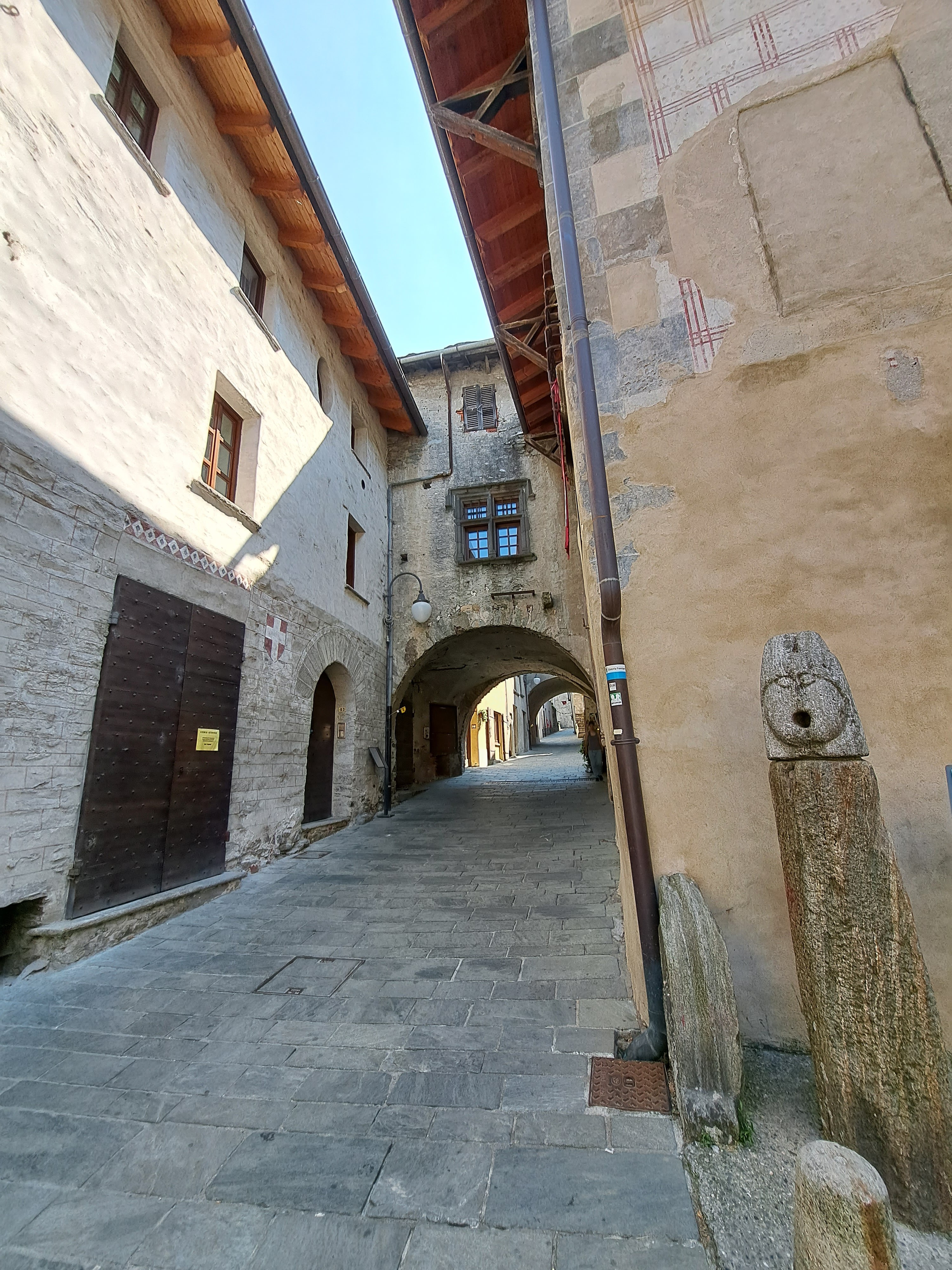
The second protagonist of the day was the fortress of Bard. Set on a rock high above the narrow gorge, the fortress has defended the entrance to the valley, historically the boundary between Italic and Gaulish peoples, since medieval times, enlarged and reinforced over the centuries. The most dramatic moment in the history of the fortress came in May of the year 1800, when Piedmontese and Austrian soldiers held the fort under siege against Napoleon's troops for two weeks before giving way. Napoleon was so enraged that he ordered his soldiers to completely destroy the castle. It was rebuilt between 1830 and 1838, producing the buildings we saw today, which now house a series of museums and exhibitions as well as a hotel and a restaurant.
I left my backpack at the ticket office and took a series of glass elevators up to the top of the fortress, where I was tempted by the photography exhibitions but chose instead to tour the prisons, containing an exhibition about the history of the fortress.


The third and last protagonist of today's stage was the Roman road, the Via delle Gallie. I picked up its route along the bottom of the cliff on the way out of Bard - with a brief detour along the present-day road by the riverside where the Roman road is closed due to work underway. Coming into Donnas, there is a well-preserved section where the Romans did not need to use paving stones, as they cut into the cliff to make space for the road and simply used the solid rock as the road base. Deep cart tracks are carved into the rock where it passes by a milestone marked XXXV and under an arch.


After this stretch of Roman road and the village of Donnas, ths rest of the walk into Pont-Saint-Martin was a long, hot slog along the sidewalk of the main road. But the sight of the Roman bridge in the town centre made it all worthwhile!

 |
| Church of San Pietro in Donnas |
 |
| Pilgrimage chapel by the road in Donnas |
 |
| View of the vineyards from the road into Pont-Saint-Martin |
 |
| Roman bridge in Pont-Saint-Martin |


After looking around the small museum, I rested on a bench under the bridge for a while. Then I went to meet my husband and some friends of ours who have an apartment in Valtournenche, one of the side valleys of the tributary rivers running into the Dora Baltea in the main valley of Aosta. We were invited to spend the weekend with them. I was looking forward to a rest day... but little did I know that they had a "bonus hike" planned for Saturday! We drove up to the golf course of Cervinia, a modern ski resort town at the foot of the Matterhorn, and hiked up to Rifugio Bobba, at 2770 metres. In 8 kilometres we climbed a thousand metres in elevation - only to clamber back down again, along a different trail leading into the town of Cervinia. In the end we walked about 17 kilometres, almost as long as a stage on the Via Francigena, but with more elevation gain (and loss) than any of the stages, with the possible exception of the Grand Saint Bernard Pass. At the end of the "rest day" I was just as exhausted as after a stage on the Via Francigena - and not a single step closer to Rome! 😄


No comments:
Post a Comment