
What you want to ignite in others must first burn inside yourself
- St. Augustine, quoted at Kloster Neustift

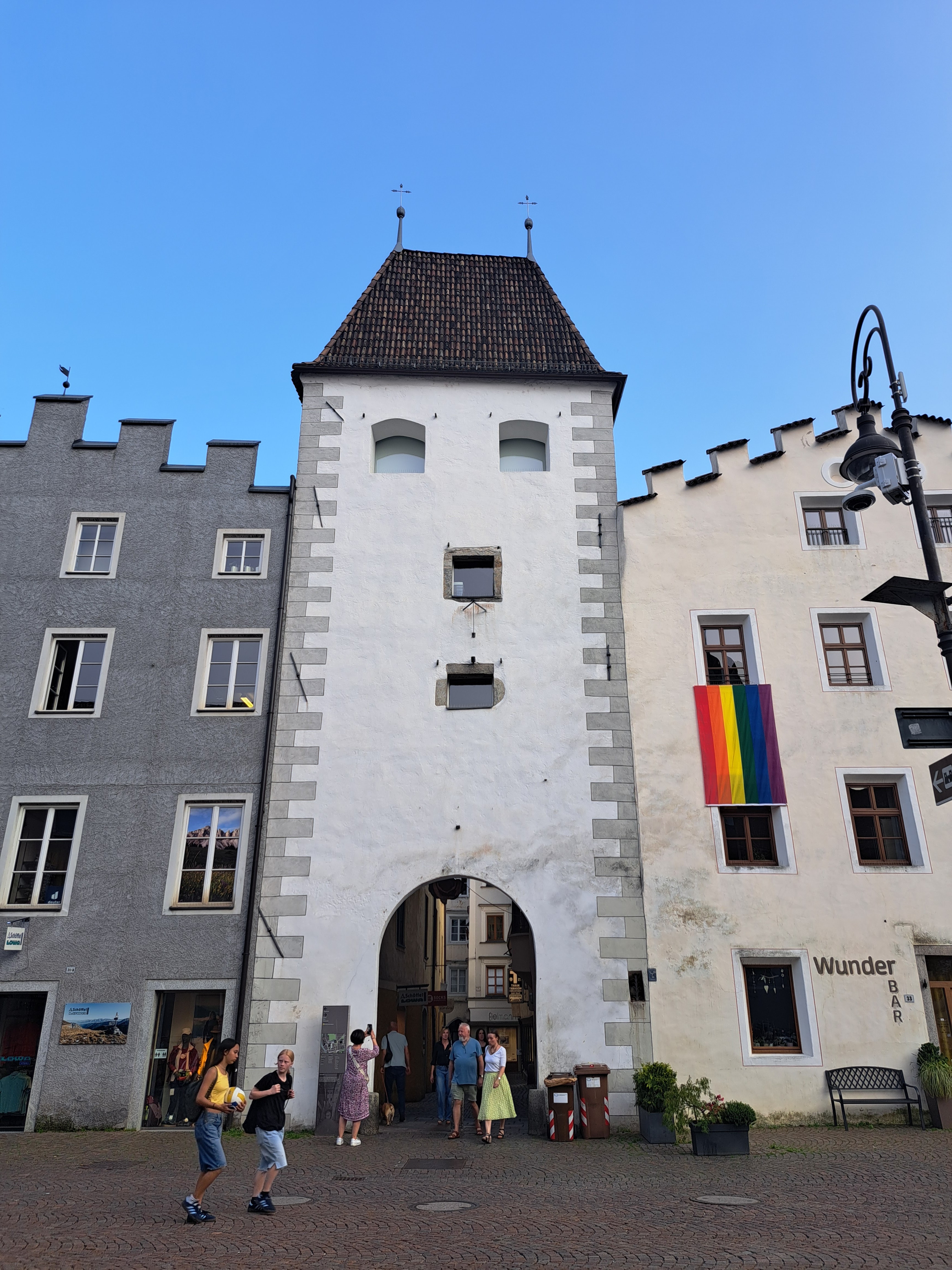
We were in bed so early last night that we were ready to get up at dawn. We made instant coffee and ate the rest of our Vipiteno yogurt (available all over Italy, but zero-kilometre here) with fruit and cereal, then cleaned the hostel bathroom and took out the garbage on our way to Vipiteno bus station, where we caught bus no. 310 back to Mittewald/Mezzaselva. We stopped in at the bar of Hotel Zur Brücke to ask for a stamp, and the kind owner allowed us to use the washroom and wouldn't let me pay for my glass of orange juice. We stopped in at the church and then began walking the day's stage.
We walked on the cycling path beside the highway for the first four kilometres, to Fortezza/Franzenfeste; shortly after Mittewald the Via Romea route was supposed to leave the road and follow a path in the forest, but the pedestrian bridge over the highway was closed and overgrown, so we continued on the cycling path as far as the train station at Fortezza/Franzenfeste, which looked like something out of the wild west!

From here we took a short detour to view a section of the original Roman road, on the opposite side of the river from the modern-day Via Romea Germanica.


The particular geographic position of South Tyrol has always made it an important region for trade and transit. The Romans conquered the area in 15 B.C. without bloodshed, as the local people submitted at least to some extent spontaneously, in view of the trading opportunities involved.
Under the Emperor Augustus, propaganda emphasized the construction of important roads. Road maps and medieval maps such as the Itinerarium Antonini and the Tabula Peutingeriana are important sources of information on their routes. The former is a list of the places along different travel itineraries through the Empire, written at the beginning of the third century A.D. and handed down to us through medieval copies, the oldest of which go back to the eighth or ninth century. In this document the Brennero road is also indicated, with the distances in miles between one station (mansiones or mutationes) and the other; while the Tabula Peutingeriana is a true map, a medieval copy of an ancient Roman map showing all the territories of the Empire.
It is not easy to date the construction of the pieces of Roman road that survive today; archaeologists rely primarily on objects found in the vicinity of the roads, such as studs, vehicle parts, harnesses and coins. The most distinctive objects, however, are the milestones, often still in their original position along ancient paths, testifying to the construction or restoration of the road at a specific time in history.
The average inner distance between the wheel ruts on Roman roads is 80 cm, while the outer distance is 110 cm. The wheel ruts are also the edge of the road itself, cut right into the rock. It is not sure that the wheel ruts were made by carts; it is also possible that the ruts were dug on purpose, to prevent heavy carts from sliding along steep stretches.
(From a sign at the archaeological site near Fortezza, adapted from: Allavena Silverio L., Rizzi G. 2002, La strada romana di Elvas nella viabilità antica della Valle Isarco, in Dal Ri, L., Di Stefano S. ed.), Archäologie der Römerzcit in Südtirol. Beiträge und Forschungen - Archeologia romana in Alto Adige. Studi e contributi, Ufficio Beni Archeologici di Bolzano, pp. 510-553. )
Four different construction techniques were adopted in the stretch of road visible at Fortezza:
- road with ruts, built on the rocks by cutting the mountain side;
- road with ruts, built on an embankment and paved with local stone slabs (granite), with a pavement often present on the outer (downhill) side
- road built on an embankment and partially paved with local stone, particularly along the tracks, or on the rock (rut uphill);
- road built on an embankment with ruts dug in the soil and filled with pebbles.


 |
| The fortress |

 |
| The church at Aica |


Abbazia di Novacella / Kloster Neustift
The Augustinian Abbey of Novacella is a fortified monastery complex which was founded in 1142 and has been making wine ever since. We began our visit with a glass of "Jubilee wine", and then I visited the Rococò church interior, the museum and the monastery's famous library while Mariella rested and looked after our backpacks.


Another four kilometres along cycling tracks through the vineyards and fruit trees brought us to a riverside park beside the Isarco, which we followed all the way into the centre of Bressanone/Brixen and our youth hostel right next door to the cathedral! There is a bell tower literally right outside our bathroom window 😄
 |
| View from the bathroom window |


Mittewald - Brixen/Bressanone 17.5 km
Postscript: Alto Adige, or Südtirol?
As the reader may have noted by now, every place in Alto Adige/Südtirol has two names. Here's a brief account of why!
The 1915 Treaty of London aimed to entice Italy to join the Triple Entente with the promise of this Austrian-held and almost entirely German-speaking territory, and when the Allies won the First World War, Südtirol was awarded to Italy, pushing the border between Austria and Italy further north. Under Mussolini, Italian speakers from farther south in the peninsula were actively encouraged to settle in the area in order to further the process of Italianisation of Südtirol. In 1922, use of the original South Tyrolean place names was prohibited, and they were replaced with Italian names as Italian became the official language; use of the words Tyrol and Tyrolean was banned and the area was referred to exclusively as Alto Adige. Germans and Austrians were prevented from entering the area, while Italian-speakers were given prefential treatment and encouraged to settle in the area. All signs were written in Italian only, and all the proceedings in courts of law took place in Italian; schooling took place in Italian only. The German-speaking population reacted by setting up illegal Katakombenschulen ('Catacomb schools') to teach children the German language.
Under the 1939 South Tyrol Option Agreement, Adolf Hitler and Benito Mussolini determined the status of ethnic Germans and Ladins (a Rhaeto-Romance–speaking ethnic group) living in the region: they could either emigrate to Germany, or stay in Italy and accept their complete Italianisation. This created a deep divide in the society of South Tyrol: those who wanted to stay, the so-called Dableiber, were condemned as traitors, while those who left, the Optanten, were defamed as Nazis.
Because of the outbreak of World War II, the agreement was never fully implemented. But some of the regulations implemented under the fascist regime remained in effect after the war, even though the Allies had decided that the province would remain a part of Italy under the condition that the German-speaking population be granted a significant level of self-government. In September 1946 the Italian and Austrian Foreign Ministers signed an agreement creating the autonomous region of Trentino-South Tyrol. German and Italian were both made official languages, and German-language education was permitted once more.
Italians were still the majority in the combined region, and continued to arrive, leading to great dissatisfaction and a series of acts of terrorism on the part of the the Befreiungsausschuss Südtirol (Liberation Committee of South Tyrol).
A new Austro-Italian treaty was signed and ratified in 1971, and in 1972 the region was granted autonomous status. Today, about 60% of the region's total population speak German as their first language; as we walk down the valley, we have noted that the percentage of German spoken is higher father north, up to 90%, with use of Italian increasing the farther south we travel. Extensive self-government of the region under the current institutional framework is now cited as a model for settling interethnic disputes and successfully protecting linguistic minorities.
 |
| Seperatist slogan on a sticker in the colours of the Austrian flag |
No comments:
Post a Comment