30 km 💪
 |
| Full English at the Bingham Townhouse |
It rained overnight but the day dawned bright and Bingham looked even better in the sunshine. I fortified myself for the day with a "Full English" breakfast with two of everything, including vegetarian "sausages". Then I set off down the footpath out of town only to emerge into a parking lot. I followed the general direction other people seemed to be going and soon found myself at the gates of Toot Hill sixth form college. The young fellow in front of me held the gate open but I got the idea this was not the way I was supposed to be going. I don't know whether Tony had walked right through the school grounds when he produced the gps track I am following seven years ago, but they are now fenced in, so I took a detour skirting the school playing fields.
The school uniforms in Bingham must definitely have been designed by a man, because the girls' uniform included a mini skirt so short they might as well not have been wearing it! The alternative seemed to be equally revealing skin-tight leggings.
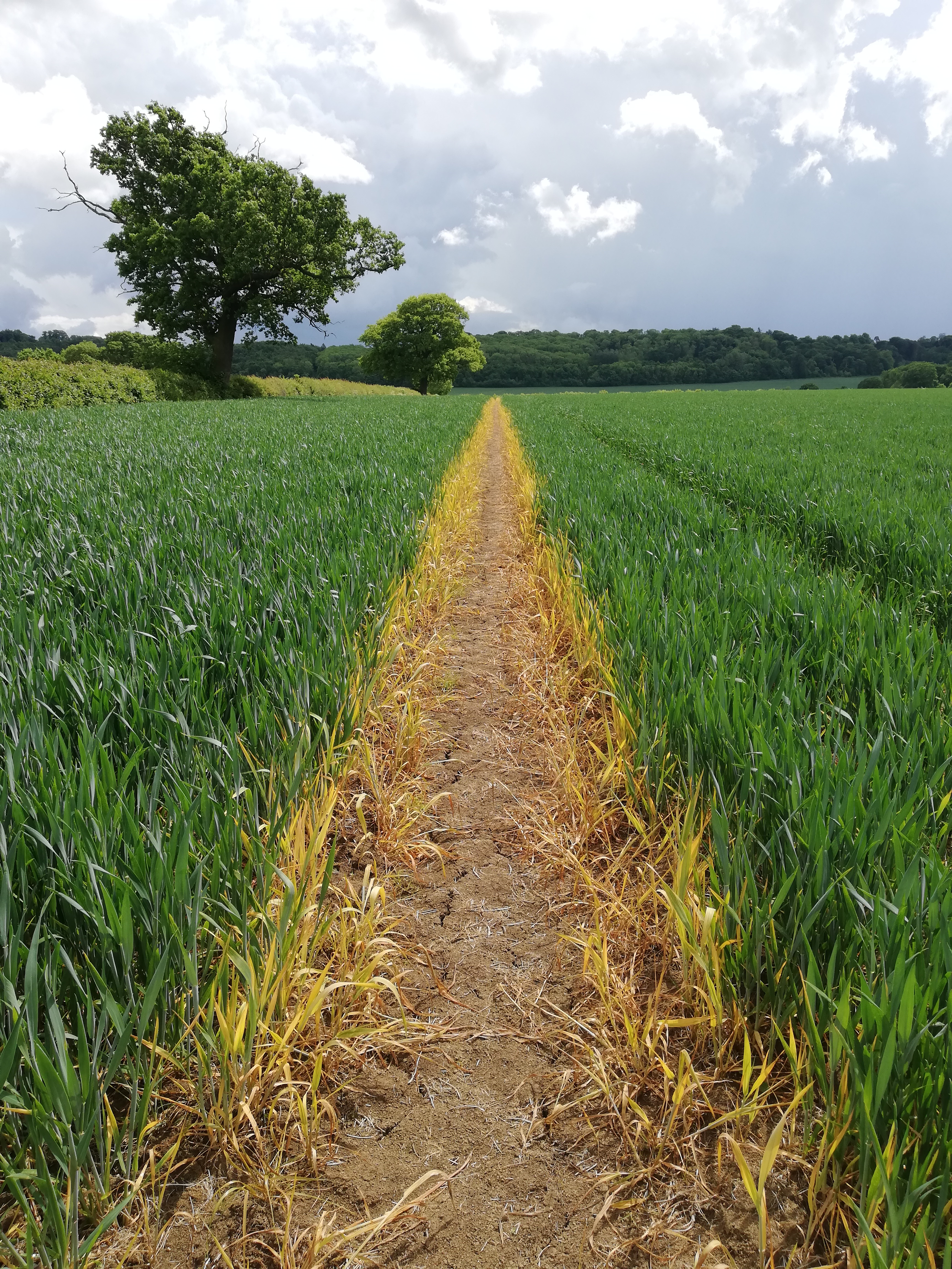
After the playing fields the path dove into a thicket, which I imagined to be full of dirty old men doing furtive things after following girls in leggings on their way to school. But there was no-one there, and the path soon emerged to cross the Bingham bypass and join an old disused railway track, much like the one I walked along the other day.
After a few kilometres along this rather monotonous trail, I stopped to talk to John, who was walking his dog. John told me he had been in the RAF and served in the Falklands, and that when they first heard they were being sent there, most of the men had no idea where the Falkland Islands were; they assumed they were somewhere off the coast of Scotland!
 |
| John & Joanne |
John said the Falklands were a beautiful place where you could experience all four seasons in a single day 😅. I asked him if they were worth fighting over, but he wasn't so sure about that.
Shortly after chatting with John I left the disused railway track, crossed a paddock and was about to enter a field I needed to cross when I realised one of the cattle grazing in the field looked suspiciously like a bull. I waited a bit to see if the animals would go over to the far end of the field but if anything they were coming closer, so I found another way around on a track through the long grass (possibly the disused railway track again). I soon rejoined my intended route. At this point, the description of the trail on Tony's website mentioned an overgrown section of path through a farm and possibly another bull in a field, and I had had enough of both of those, and also a wind was coming up and it looked like it might rain, so I walked up the road for the last few hundred metres into the village of Granby.


I took shelter under the porch roof of the church until the shower had blown over and then set off again over the fields to Barkestone, where I took another short break in a bus shelter before carrying on towards Belvoir Castle (pronounced Beaver Castle, according to John, and according to Tony's instructions for St. Bernard's Way).
The start of the footpath to Belvoir was marked, but following the footpath took me into a cattle farm where every way seemed to be barred with electric fences, except one. I followed this obligatory route across a very mucky cattle yard (the cattle were out in the field, safely on the other side of the electric fence), but it then ended abruptly in an empty field. I must have gone awry somewhere before the cattle yard! Anyway, I found my way out of the field by clambering over a gate and walked a short way up the road to get back onto the footpath I was supposed to be following.


I climbed the hill to Belvoir Castle, already regretting not having booked the B&B right on the castle grounds. I could have been enjoying a nice hot bath and a cup of tea already! But it had seemed too near when I was planning yesterday (hah!) and I had booked an airbnb room on a farm a couple of hours' walk farther along the trail. So I spent three pounds fifty on an overpriced cheese scone from the café to gain the right to sit at an outdoor table under a canopy while another brief but intense rain shower blew over. The café had inside tables too, but my boots and trousers were in no state for sitting down in a restaurant after crossing all those wet and muddy fields!
I'm glad I'm staying on a farm tonight as they will surely be used to mud! But I have been forewarned that the Internet connection there is not very good, so this may be all you get to hear from me today, courtesy of the Belvoir Castle wi-fi!

After I started again from Belvoir Castle, the day seemed vastly improved: the sun was shining and the cheese scone had given me new energy. The views back toward the castle and forward toward the village of Woolsthorpe were magnificent.


After coming through the pretty little village of Woolsthorpe I joined The Drift, an ancient track that follows the boundary between Lincolnshire and Leicestershire.


Walking along The Drift was hypnotically easy and I could have followed it for miles and miles.... But I had to leave the track to reach my accommodation for the evening, a room on a farm I had found through Airbnb. After some wandering about through fields of sheep I eventually found the right farm and spent a very pleasant evening in the company of Hilary, Malise and Hannah. They board horses on their farm and giving riding lessons, and they also make special little boots to protect horses' feet. You can look them up at Westropp Boots!


Le foto con il cielo blu, sono molto belle. Bel percorso.
ReplyDeleteSi qui spesso manca la materia prima necessaria per fare belle foto: la luce!
ReplyDeleteCioè ce n'è fintroppo, come ore di luce al giorno, il sole sorge alle 4 e tramonta... Dopo che vado a dormire quindi non so quando! Però forse per questo é una luce molto diluita!!
ReplyDelete